View the Princes Hill heritage walk on Google Maps.
Download the Princes Hill heritage walk (PDF 8.1MB) to print.
This walk will take approximately 2.5 to 3 hours to complete. This walk covers a considerable distance, so you may prefer to walk sections on separate occasions.
About Princes Hill
The area that we now call Princes Hill was part of the ancestral lands of the Wurundjeri clan of the Woi-worung tribe. Up until the mid-1870s, the area was an open bush land. Between 1876 and 1879 the Crown land between the Melbourne General Cemetery and Pigdon Street was subdivided by the Victorian colonial government. The street layout was established by government survey. The wide streets and generous rear service lanes appeared in the government subdivision, leaving little to the whims of private developers. The main period of development of the Princes Hill area was from the late 1870s until the 1910s, which gave the area a uniform streetscape of Victorian and Edwardian buildings.
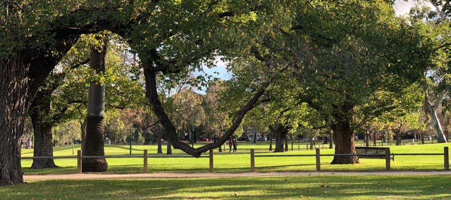
Today also we see a overwhelming dominance of one-storey housing, interspersed with a maximum of two-storey buildings. In addition, specific landscape elements such as the wide Pigdon Street boulevard, with its significant avenue of palms and adjoining reserves, and the adjoining Melbourne General Cemetery and Princes Park, all enhance the spacious and period landscape character of the area. Commercial development in this area has been minimal. Apart from a few traditional corner shops, most of the shops were developed in a strip along Lygon Street. Public and community buildings are few, but significant places that date from the area’s early period of development include the Princes Hill Primary School in Pigdon Street, and St Michael’s Anglican Church and hall on the corner of McIlwraith and Macpherson Streets, opposite the Melbourne General Cemetery.
