Yarra Planning Scheme and amendments
-

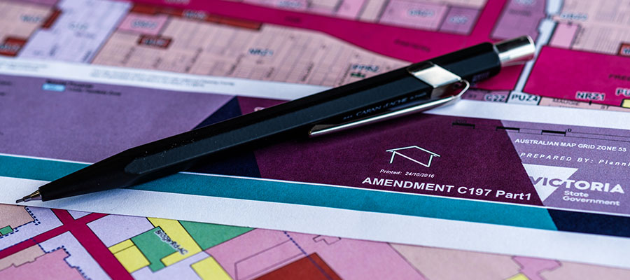
Current amendments
You can read more about our current proposed and draft amendments by clicking on the links below.
Read more -

Standing Advisory Committee
Find out more about the Yarra Activity Centre Standing Advisory Committee.
Read more -
Approved amendments
These amendments have been approved and are included in the planning scheme.
Read more -

Incorporated documents
These documents form part of the planning scheme and help Council make better planning decisions.
Read more
What is a planning scheme?
A planning scheme is a statutory document that sets out objectives, policies and provisions relating to the use, development, protection and conservation of land in the area to which it applies. A planning scheme regulates the use and development of land through planning provisions to achieve those objectives and policies.
The Department of Transport and Planning (DTP) provide further information on Chapter 1: Planning Schemes under their Guide to Planning.
What does a planning scheme contain?
Planning Schemes in Victoria all have the same structure and include
- maps which show the zones and overlays that affect the land
- an ordinance with sets outs the written requirements of a scheme
- incorporated documents
Each municipality has its own planning scheme and the local policies distinguish one planning scheme from another. See a copy of the Yarra Planning Scheme.
What is a planning scheme amendment?
A change to a planning scheme map, the written part of the scheme, or both, is called an amendment. The DTP provide further information on Chapter 2: Amendments under their Guide to Planning
What are the steps in a planning scheme amendment?
![]()
What are the fees and costs for a planning scheme amendment?
Planning scheme amendments can be undertaken by the State and Local Governments which are responsible for the operation and development of planning schemes. Individuals, organisations or companies can request a planning scheme amendment from either Local Government or the Minister for Planning. If a request to amend the Planning Scheme is accepted there are fees and costs that apply.
These fees and costs are intended to cover the costs of a planning scheme amendment which include public consultation, administrative costs and any third party or expert review. The fees and costs may vary depending on the size and complexity of the amendment.
These are explained in the Department of Transport and Planning's Fees webpage and Yarra City Council Planning Scheme Amendment fees and costs policy.
Key terms in the planning scheme
The following are definitions of some of the more common planning terms we use:
Activity Centre: An area that provides a focus for services, employment, housing, transport and social interaction. They include Yarra's retail streets.
Dwelling: A house, townhouse or apartment. It might be a single dwelling on a lot, a row of dwellings, a block of flats or apartments - each individual residence is a dwelling.
Major Employment Precincts: There are two in Yarra - Cremorne Enterprise Precinct (including Church Street), Richmond and the Gipps Street Employment Precinct in Collingwood. They host a diversity of traditional industrial uses, commercial offices and creative industries.
Planning Scheme: A planning scheme is a statutory document that sets out objectives, policies and provisions relating to the use, development, protection and conservation of land in the area to which it applies. A planning scheme regulates the use and development of land through planning provisions to achieve those objectives and policies.
Zones: The planning scheme zones all land to reflect various land uses. Zones categorise how land is used and there are specific rules relating to each zone. Where can I get more information?
Residential zone: Land that is predominantly for housing. The residential zone applies to 805 hectares of land in Yarra, accounting for 41% of all land in the municipality.
Mixed use zone: Land that has a mixture of commercial, industrial and residential uses.
Commercial zone: Land that primarily has a commercial purpose, including shops, offices and restaurants.
Heritage Overlay: A planning tool that is applied to properties which are deemed places of natural or cultural significance. A Heritage Overlay provides guidance about how to undertake works which conserve and enhance the significance of heritage properties, and ensures any works are not detrimental to the significance of heritage properties.
Design and Development Overlay: Is a planning tool that is applied to areas which need specific requirements relating to the built form and design of new development. If you want to know more about what DDOs can and cannot guide see the General Design and Development Overlay (DDO) Information Sheet.
For a better understanding of the Victorian Planning System and Planning Schemes, the Guide to Victoria's Planning System provides more information for all users. For more information on Planning in Victoria the Department of Transport and Planning has more information about planning on its website.