LAPM 18 Coppin (Richmond)
The Local Area Place Making (LAPM) 18 Coppin precinct (Richmond) is located in the area bounded by Church Street, Bridge Road, Burnley Street, and Swan Street.
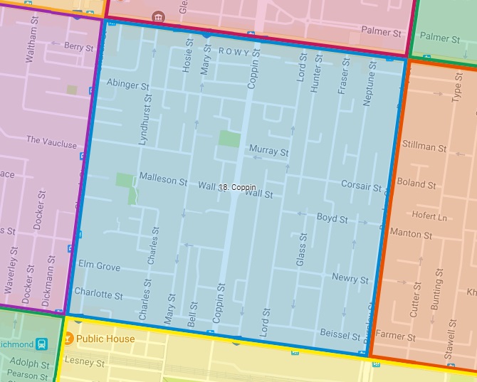
View the Local Area Place Making 18 precinct in a larger map
Previous Study |
2012 | |
Local Area Place Making Plan (LAPM) |
The LAPM plan shows a map of different traffic treatments which will be implemented throughout the area. Details of the LAPM plan and study can be viewed at the following document: |
|
Cost |
$240,000 |
|
Time-frame
|
3 years | |
Outcomes |
An evaluation of traffic treatments conducted in early 2014 revealed significant improvements to traffic conditions in the area. Vehicles are travelling at slower speeds on all streets where treatments were installed, with speeds now considered to be within an acceptable range. The number of vehicles travelling on Brougham Street, Charles Street, Charlotte Street, Coppin Street, Elm Grove and Newry Street has also decreased. Notably, Coppin Street, a major north/south connection, saw a 3.5% drop in the traffic volume and up to a 26% decrease in speed. In another positive result, improved ‘one way’ signage on Mary Street saw the number of vehicles travelling in the wrong direction dropping from 25 vehicles per day down to 4. |
|
Next Study |
Find out where the next LAPM will be | |
Contact Us |
Get involved and leave us a request or comment | |